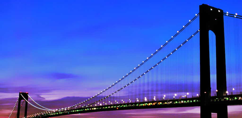
Traffic on the Verrazano-Narrows Bridge
The Verrazano-Narrows Bridge handles over 220,000 vehicles daily, making it one of New York City's busiest river crossings. Stay informed with real-time traffic updates and historical patterns to plan your optimal crossing time between Brooklyn and Staten Island.
🚦 Live Traffic Status
Loading live traffic data...
📊 Speed Thresholds
⚠️ Active Incidents
Checking for incidents...
🧭 Traffic by Direction
Loading directional traffic data...
🛣️ Alternative Routes
Loading route options...
🚢 Staten Island Ferry - FREE Alternative During Heavy Traffic
When Verrazano Bridge traffic is heavy, the Staten Island Ferry offers a completely free alternative that many visitors don't consider.
- Schedule: 24/7 service, every 15-30 minutes during peak times
- Cost: Completely FREE for all passengers and vehicles
- Journey Time: 25 minutes crossing + spectacular harbor views
- Manhattan Terminal: Whitehall Terminal (near South Ferry subway)
- Staten Island Terminal: St. George Terminal (bus connections throughout SI)
Bonus: Get incredible views of the Verrazano Bridge from the water - same perspectives as expensive harbor tours! See our complete ferry guide.
Live Traffic Map: Real-time conditions updated every minute from official MTA feeds and traffic sensors across the bridge and approach roads.
The data in the map above is from today and is processed in real time from live MTA feeds and adapted into graphical format so that you can see visually where on the Verrazano Bridge or the approachways, there might be issues.
If there has been an accident or other incident that is blocking traffic flow, then it will be immediately obvious because of the red colored sections of road on the map. When the whole bridge is red then consider another way to cross such as the Holland Tunnel.
⏰ Best Times to Cross the Bridge
✅ Avoid Traffic - Best Times
- Early Morning: 5:00 AM - 7:00 AM
- Mid-Morning: 10:00 AM - 2:00 PM
- Late Evening: 8:00 PM - 11:00 PM
- Weekends: Saturday 6 AM - 2 PM, Sunday 6 AM - 4 PM
⚠️ Heavy Traffic - Avoid These Times
- Morning Rush: 7:00 AM - 9:30 AM
- Evening Rush: 4:00 PM - 7:30 PM
- Friday Evenings: 3:00 PM - 8:00 PM
- Sunday Evenings: 5:00 PM - 8:00 PM
🌧️ Weather Impact on Traffic
Rain/Snow: Speed reduced to 25-35 mph, add 10-15 minutes to crossing time
High Winds (35+ mph): Restrictions for trucks, motorcycles, and high-profile vehicles
Fog: Reduced visibility may cause slower speeds and increased following distances
Ice/Winter Weather: Possible temporary closures or significant delays
📈 24-Hour Traffic Speed Chart
Loading traffic speed chart...
📊 Recent Traffic History (24 Hours)
Loading historical traffic data...
Historical Traffic Trends (Archive)
As part of the Open Data initiative of the NY city the historical data is available for traffic on the bridge. However the data only goes up until 7th July 2017, so there is no data about today.
The data does go back as far as 2010 though so there is a large historical amount of traffic information that may be examined to see typical patterns. Take a look at the peak between Dec 2016 and May 2017 when usage surged, particularly among the E-Z Pass users.